Christchurch to the West Coast
 Sunday June 11th – The three of us had breakfast then checked out Cathedral Square in the center of Christchurch. This beautiful church was completed in 1881. From the ground to the top of the spire is 63 meters (207 feet). We then wandered around a local artisan’s market and bought a few souvenirs. One of the popular products here in New Zealand are scarves, sweaters, hats, gloves, etc, made out of merino wool and possum fur. The possum has hair fibers which are hollow and when woven with the wool it makes an incredibly lightweight, insulating, and extremely warm fabric. Grant bought me a scarf, hat and gloves, which I love. After walking around the city centre for a bit we parted ways with Sue for a few days. She is heading north to Kaikoura for a swim with the dolphins tour while we are heading to the west coast for a caving adventure.
Before Grant and I left town we rode up a gondola which overlooks the city. The view there was spectacular. The 945 metre Gondola ride travels, almost 500 metres (1500 feet) above sea level. You get 360 degree views of Christchurch, the Canterbury Plains and Lyttelton Harbour as you rise to the summit, on the crater rim of Christchurch's famous extinct volcano. At the top there is an interesting display called the hertiage time tunnel. It shows the fascinating history and geological evolution of the Banks Peninsula region. Included is information on the geology of the region, Maori mythology, and life on board an early settlers' ship.
We began our drive to the west coast, through the mountains and “Arthur’s Pass”.
Arthur’s Pass National Park is in the heart of the Southern Alps/Kā Tiritiri o te Moana. Its high mountains with large scree slopes, steep gorges and wide braided rivers, straddles the main divide – the ‘back bone’ of the South Island – between Canterbury and the West Coast. Arthur’s Pass (1929) was New Zealand’s third national park and the first one in the South Island. Winding in places, it is one of the country’s most scenic routes. There is a striking difference between the habitats on either side of the main divide. Mountain beech/tawhai dominates eastern slopes. To the west is mixed podocarp rainforest and red-flowering rātā, with a luxuriant under storey of shrubs, ferns and mosses. They say that above the bush line, snow tussock and alpine meadows can be seen quite easily on a short walk off the road, at the summit of Arthur’s Pass, but due to the poor weather, we stayed in the car.
The passes through the Southern Alps were used by Māori to trade pounamu/greenstone (Jade) from Westland to Canterbury. But it was never an easy crossing through rugged terrain and unpredictable weather; even today the road is often closed because of rock fall, slips or snow.
It was beautiful as the tops of the mountains were covered in snow and there were tons of waterfalls on the sides of the mountains. One of the waterfalls was so big and poured so close to the road that a aqueduct was built to funnel it over the road. Unfortunately, our views of the area were somewhat impaired as a storm rolled in and it began to pour rain. The rest of the drive wasn’t all that pleasant, we had about 4 hours to Greymouth and it was super windy and rained the whole time! Once at Greymouth we found a cozy hostel called “Global Village”, got some dinner and holed up for the night. I was delighted to have some internet time and caught up on my blogging and photo uploading.
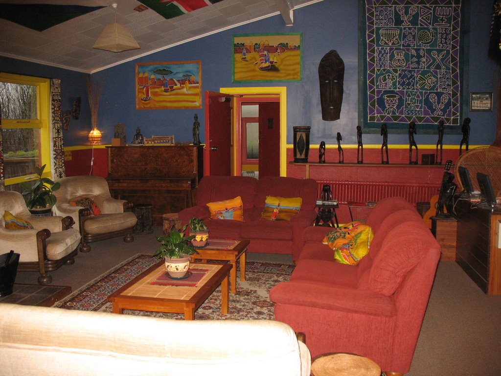
Common Room at Global Village.
posted by J. Bullis @ 7:31 PM
![]()
![]()

<< Home